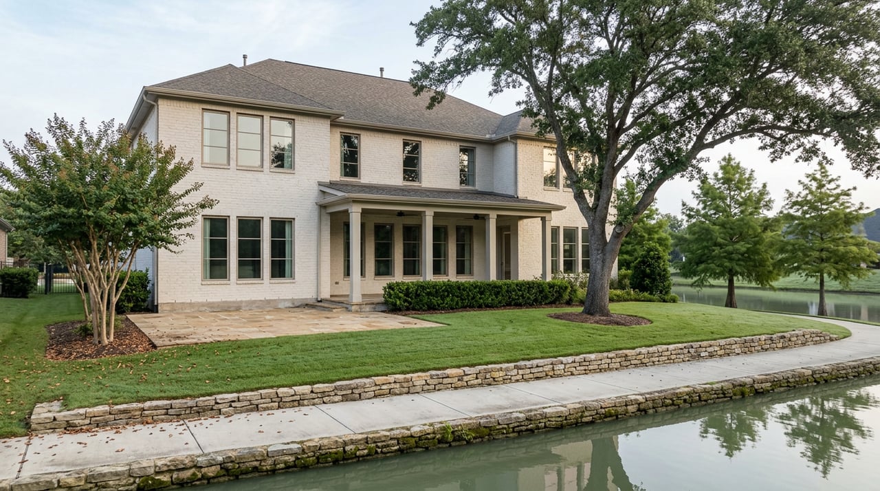
Sommerall's Neighborhood Pond Isn't the Endpoint. The Trail Behind It Keeps Going for 2,154 Acres.
September 17, 2026
September 17, 2026
Where does the walking path behind the Sommerall Park pond actually go once it leaves the subdivision?
Most residents who fish that pond or walk the loop around it treat it as the amenity itself, a self-contained perk tucked behind Sommerall Drive near Highway 6 North and Clay Road. It isn't self-contained. The trail keeps going past the fence line and feeds directly into Bear Creek Pioneers Park, the Harris County park that sits just south of the neighborhood. Most of the people who walk their dogs on the near end of that trail have never followed it to the far end, which is a shame, because the far end is where the actual park starts.
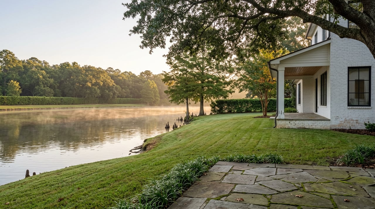
The pond inside Sommerall Park does what a neighborhood pond is supposed to do. Residents fish it on weekend mornings. Kids ride bikes on the paved loop around it. It's the kind of low-key amenity that shows up in listing photos and gets mentioned once in a home tour and then mostly forgotten, because it works quietly and doesn't need attention.
What it doesn't announce is that the trail running past it isn't a closed loop. It's a connector. Keep walking south past the water and the path ties into the trail network of Bear Creek Pioneers Park, one of the largest county parks in the Houston area and, at 2,154.6 acres, considerably bigger than most people who've only seen the Sommerall side of the fence realize.
Bear Creek Pioneers Park runs roughly from Highway 6 to Eldridge Parkway and from Clay Road to Patterson Road, which puts a meaningful chunk of it within an easy walk or short bike ride of Sommerall. The park exists because of flood control, not recreation. The U.S. Army Corps of Engineers built it in the early 1940s inside what's now the Addicks Reservoir, and Harris County took over a long-term lease on the land in 1965. That flood-control origin is also why the park floods when the Houston area gets heavy rain. It's doing its job.
The scale is easy to undersell in a single number. The county's own facilities count includes 18 ball fields, 26 soccer fields, and 14 playgrounds spread across land that also holds equestrian trails, a free wildlife sanctuary, and the Harris County War Memorial. That's not a park you finish in one visit. It's a park you have a relationship with over years, the way Sommerall residents already do with the pond, just at a much bigger scale most haven't explored yet.
Here's where the numbers get interesting. Harris County Precinct 4 lists the park's maintained trail system at just over two miles. Trail-tracking apps tell a different story.
| Source | What it reports |
|---|---|
| Harris County Precinct 4 | Just over 2 miles of maintained trail |
| AllTrails, Equestrian and Nature Trail | A loop of roughly 2.6 to 2.8 miles on its own |
| AllTrails, Plummer Trace | A separate route estimated at 5.5 miles |
The gap isn't an error. The county figure covers the paved, lighted jogging loop near the main hub. The longer routes are natural-surface paths through the wooded equestrian side of the park, old roadbeds that pass the historic Hillendahl-Eggling Cemetery before crossing Patterson Road into forest. Bear Creek and George Bush Park are the only two Precinct 4 parks that allow horses on trails, which is part of why that side of the park reads as wilder and less curated than the mowed fields near the entrances. If you've only ever driven past the ball fields on Clay Road, you've seen the smallest and busiest slice of what's actually back there.
A few specifics worth knowing before you make the walk:
None of this is hidden. It's just far enough from the Sommerall side of the fence that most residents never walk past the pond to find it.
Bear Creek Pioneers Park is open every day of the year, no entrance fee, but the flood-control design that makes the park possible also makes parts of it genuinely unusable after a wet week. The natural-surface trails on the equestrian side turn to mud fast and stay that way. Locals who use the park regularly tend to save the longer walks for the drier stretch of January and February and stick closer to the paved loop the rest of the year, especially after a heavy rain event. It's not a reason to avoid the park. It's a reason to check trail conditions before you commit to the 5.5-mile route instead of the two-mile paved loop.
If the walk works up an appetite, the neighborhood recommendation that keeps surfacing among Sommerall residents isn't a chain. It's Taqueria El Rancho, off Spring Stuebner Road, known locally for tacos made fresh rather than assembled fast. It's the kind of small, specific spot that doesn't show up in a generic area guide but does show up repeatedly when actual neighbors are asked where they eat. That's usually a better signal than a review aggregate.
For anyone who's lived in Sommerall for years and never made it past the pond, a full loop looks something like this:
None of this requires a plan or a permit. It requires knowing the trail behind the pond doesn't stop where the subdivision does, which is easy to miss when you've walked the same quarter-mile loop for years without a reason to keep going.
That's usually how it goes with a neighborhood you already know well. The parts you use every day get familiar enough to stop noticing, and the parts just past them stay unexplored simply because nobody pointed at the gap in the fence and said keep walking.
Whenever the conversation turns from a Saturday walk to buying or selling in Sommerall or anywhere else in the Cypress and Houston Metro area, The S Group Houston brings the same kind of on-the-ground detail to that conversation, the kind that comes from actually knowing these streets rather than reading about them. Work With Us when you're ready.
Stay up to date on the latest real estate trends.

14140 Southwest Freeway, Suite 150 Sugar Land, TX 77478